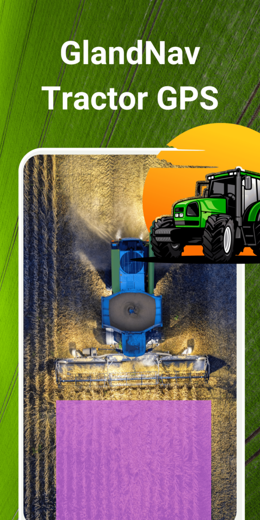
GlandNav Tractor GPS
GlandNav Tractor GPS Guidance System is a precision tool for tractor and machinery operators, designed to enhance efficiency in planting, tilling, harvesting, and all agricultural tasks
Precision tractor navigation
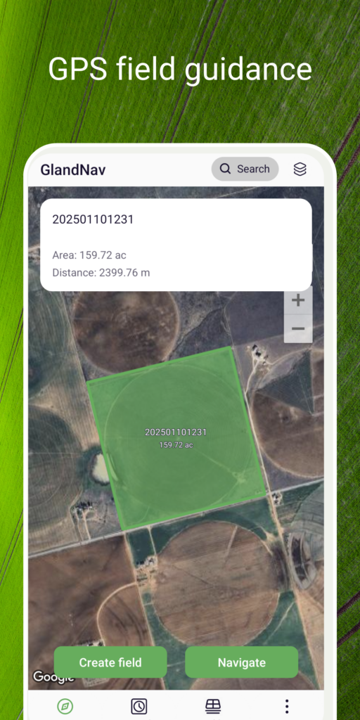
As the most popular parallel driving app for precision agriculture, it saves costs by just installing it – no additional expensive equipment required. It allows you to measure the area of your farm, field or meadow easily and hassle-free, even in adverse conditions or low visibility.
Key Features of GlandNav Tractor GPS
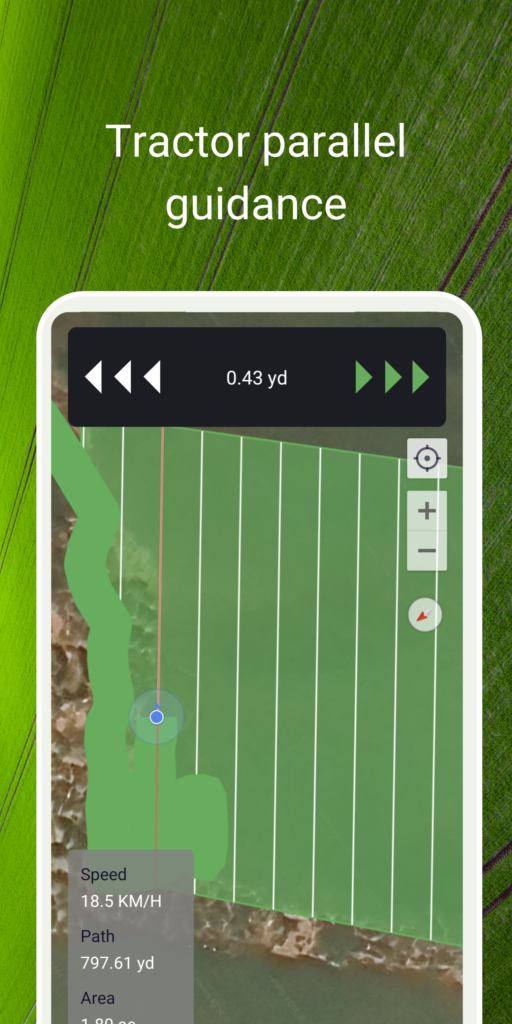
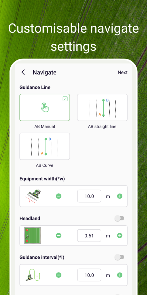
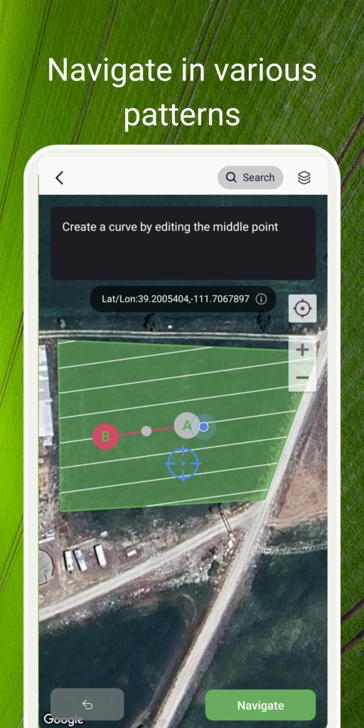
Navigate in parallel lines or curves for precise field layout
View and plan tracks on Maps with satellite view
Measure field area and perimeter using GPS or manual points
Convenient and efficient creation and management of field areas
AB Curve and Headland navigation for complex field shapes
Create fields database by using GPS or manually